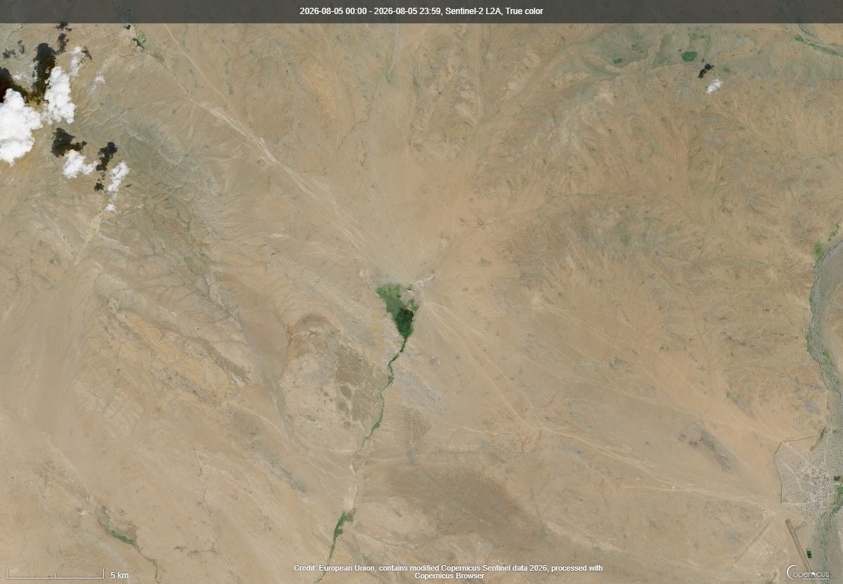
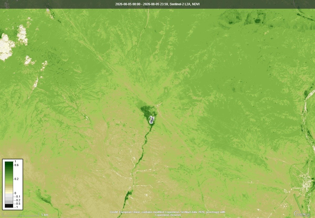
Annual satellite views of pasture condition in the project’s target soums, from Sentinel-2 imagery.
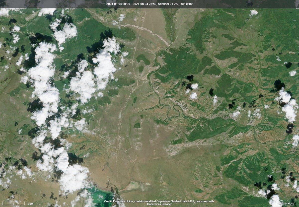
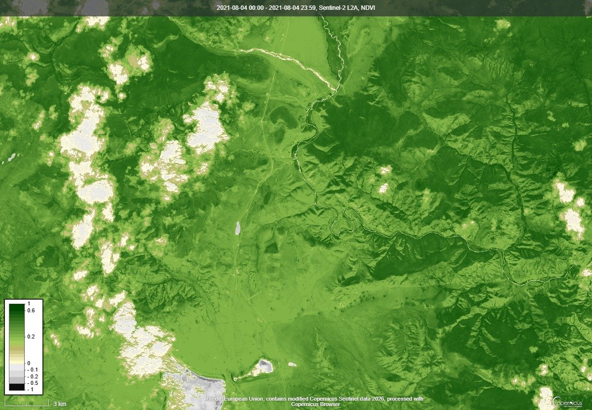
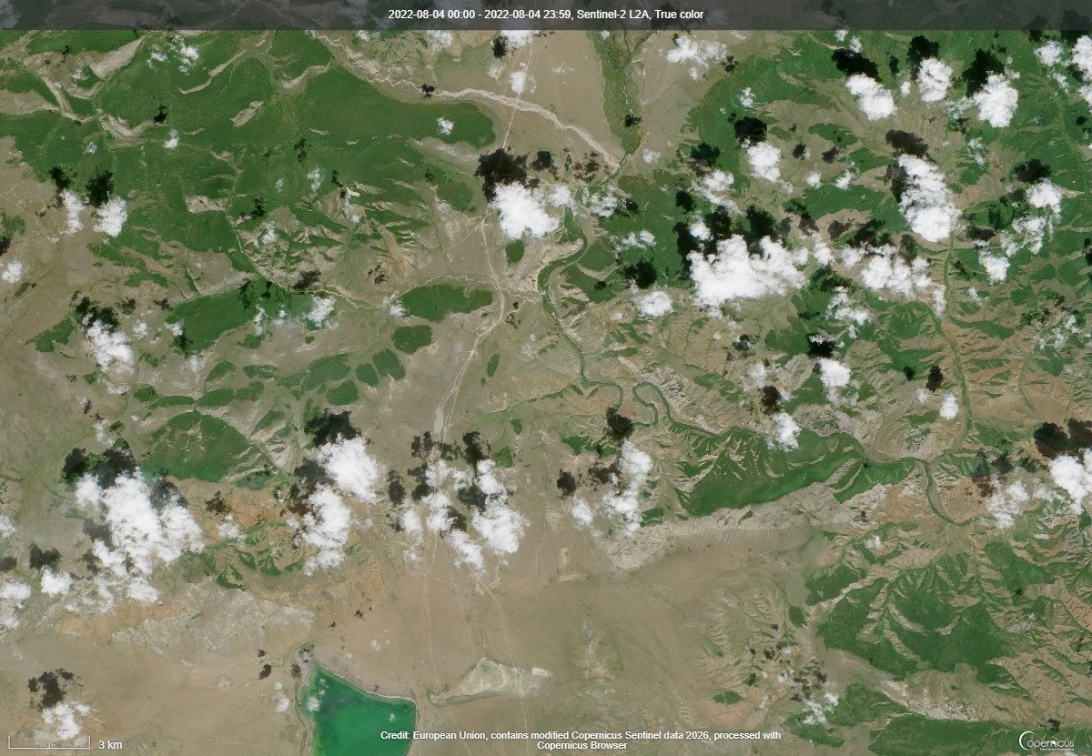
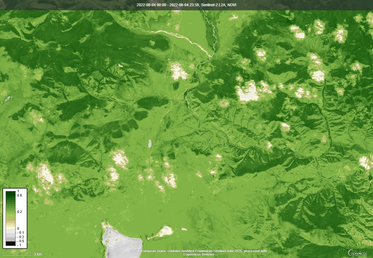
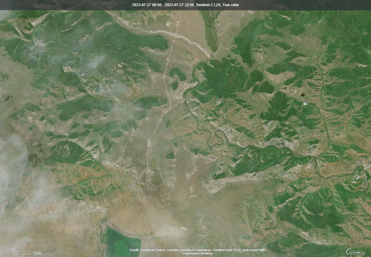
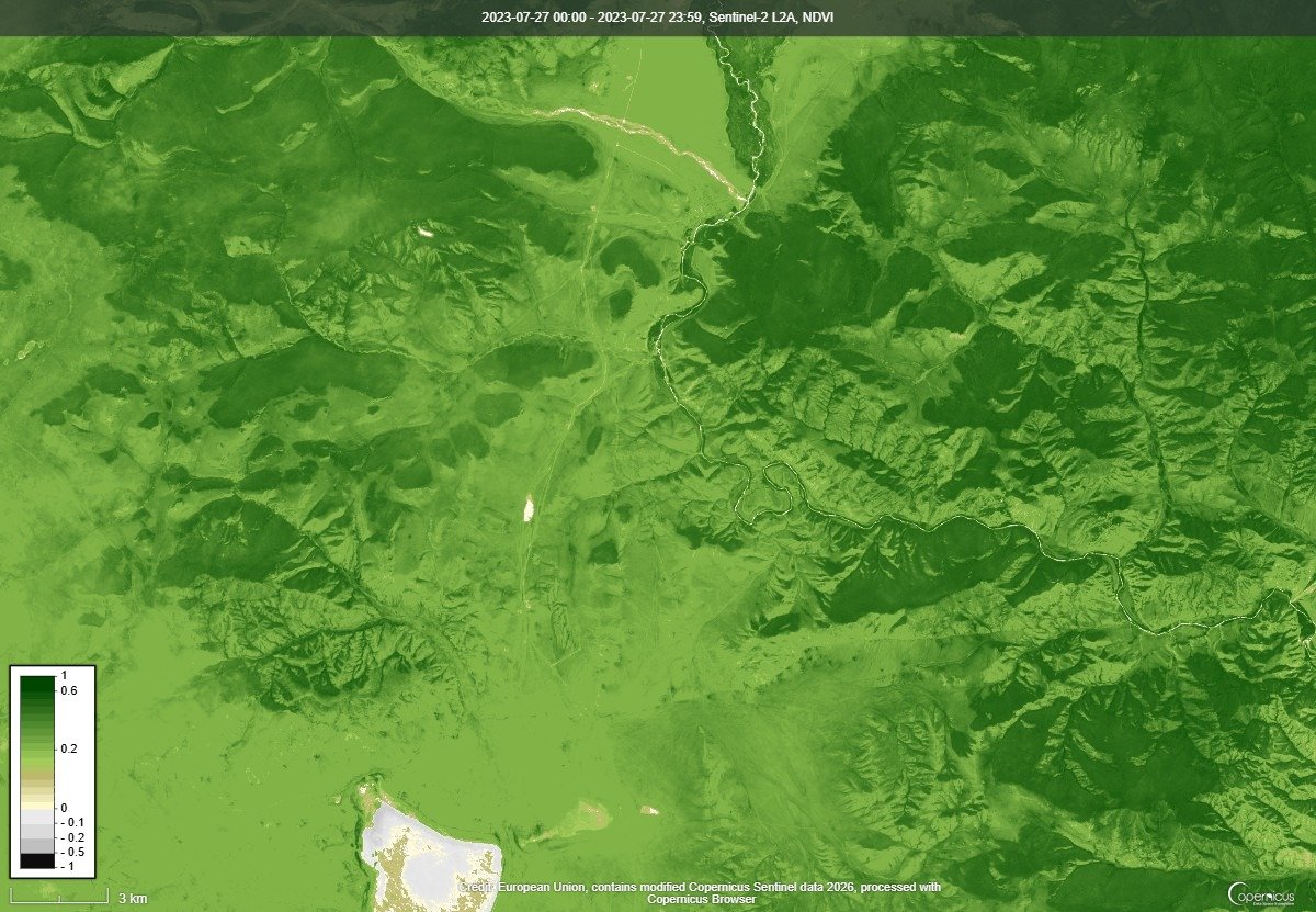
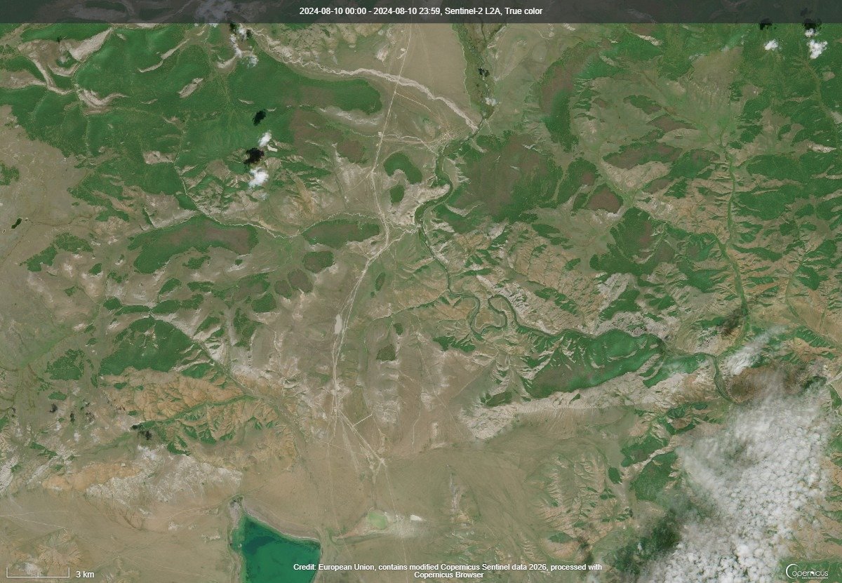
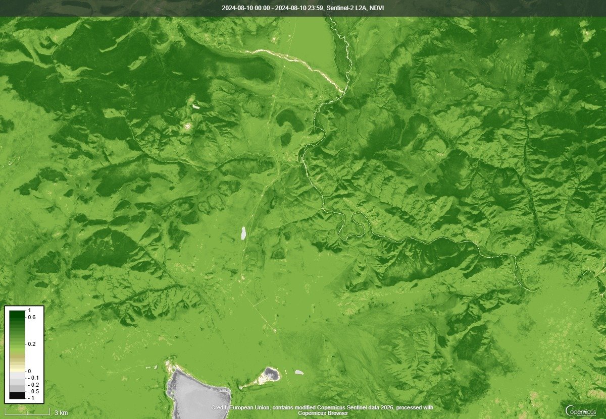
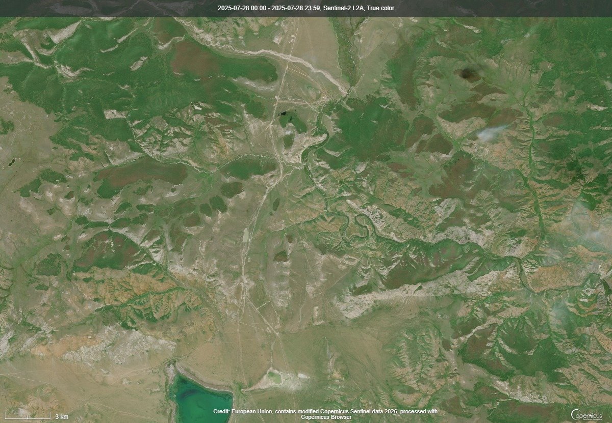
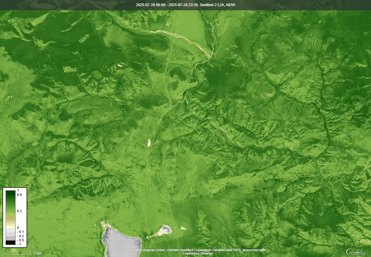
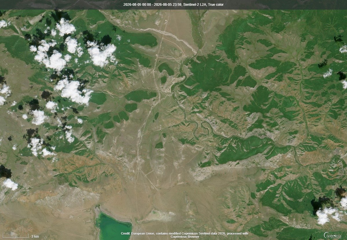
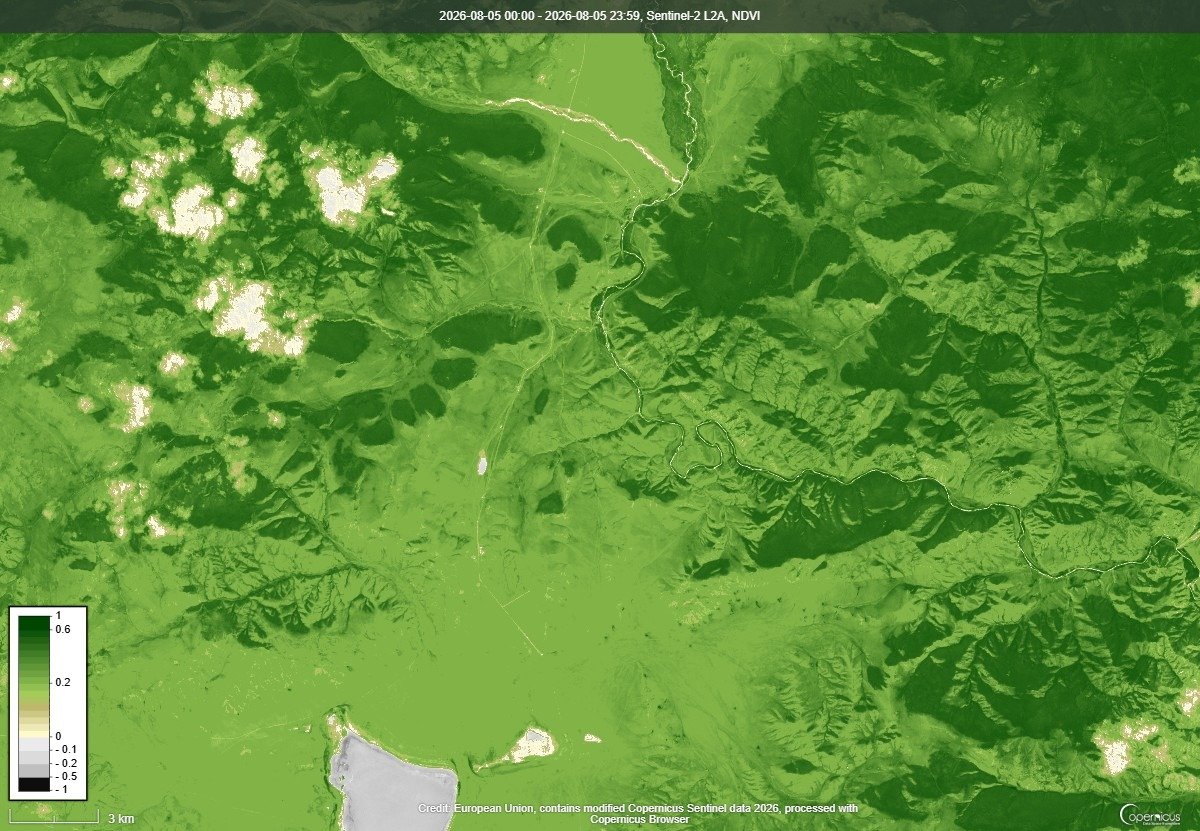
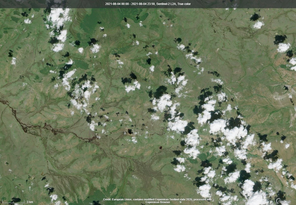
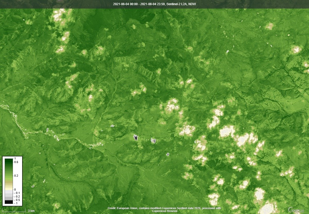
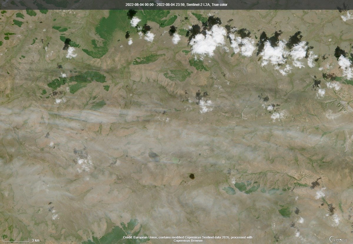
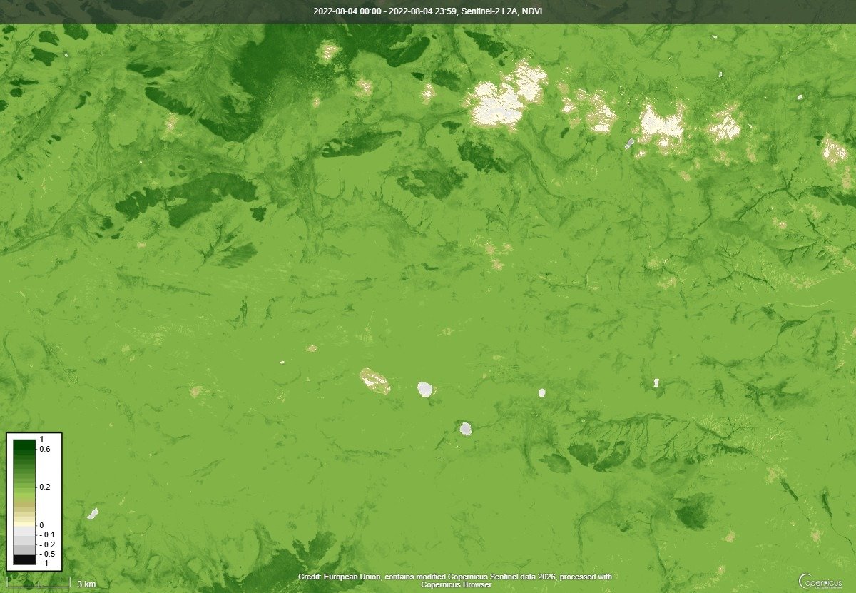
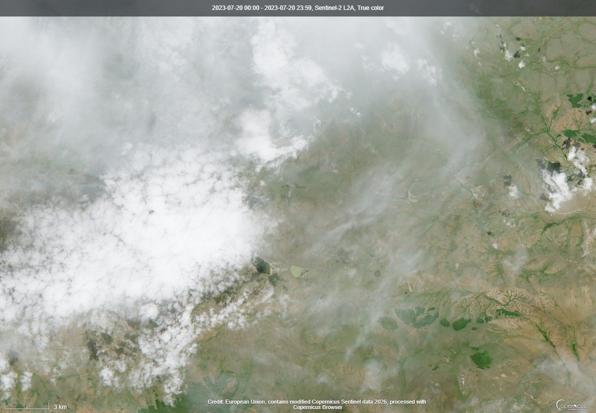
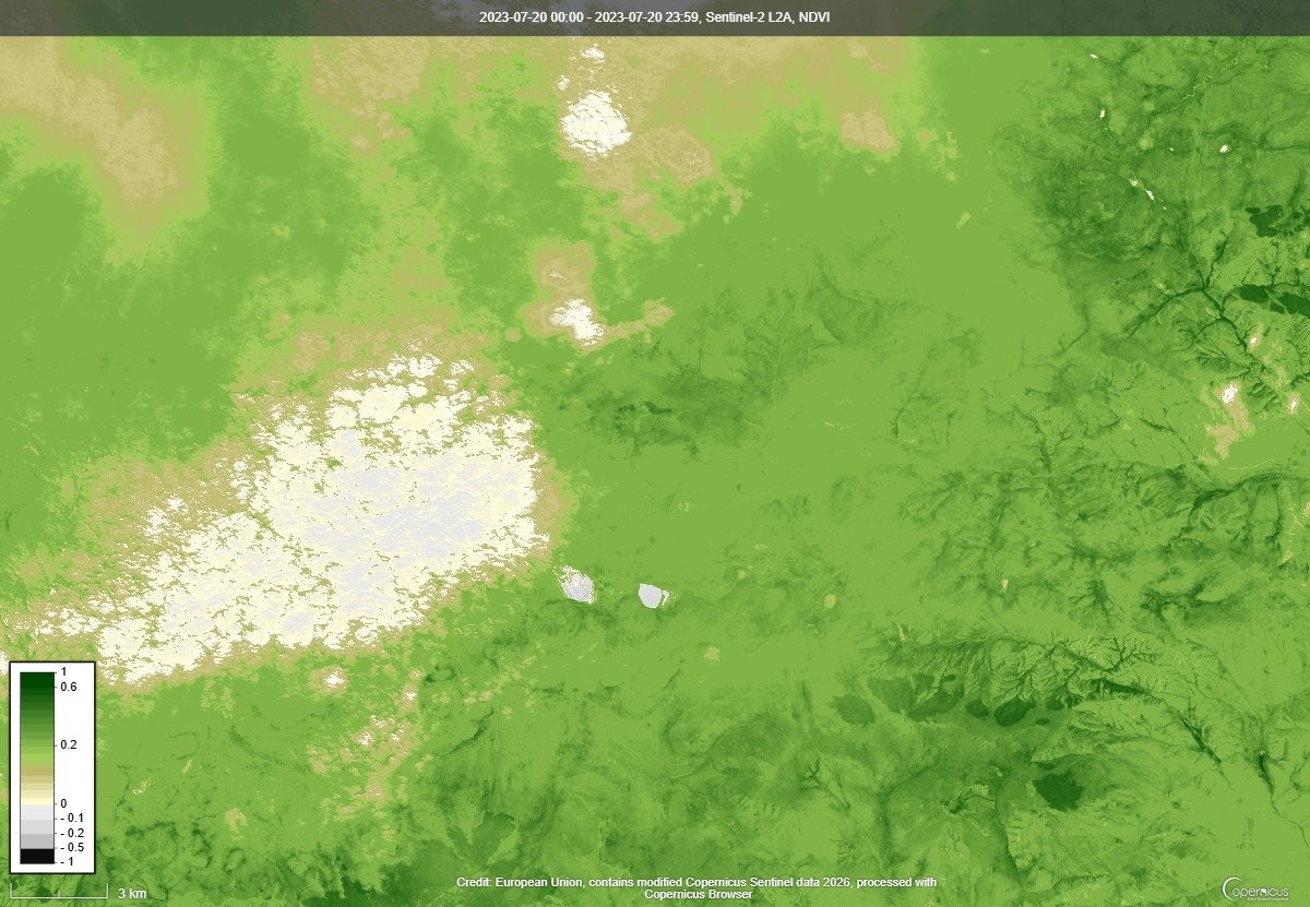
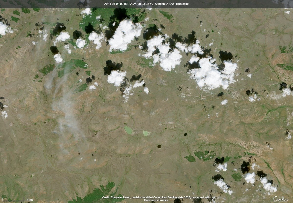
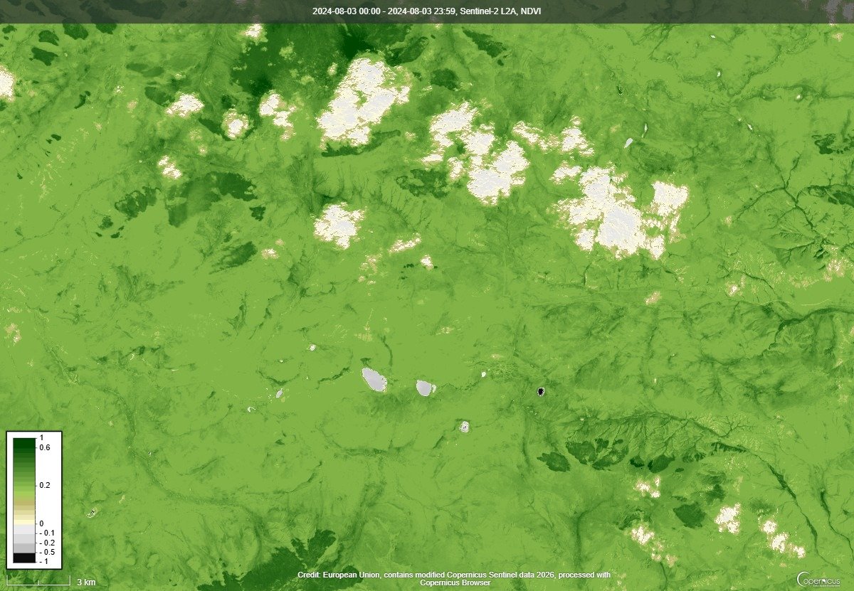
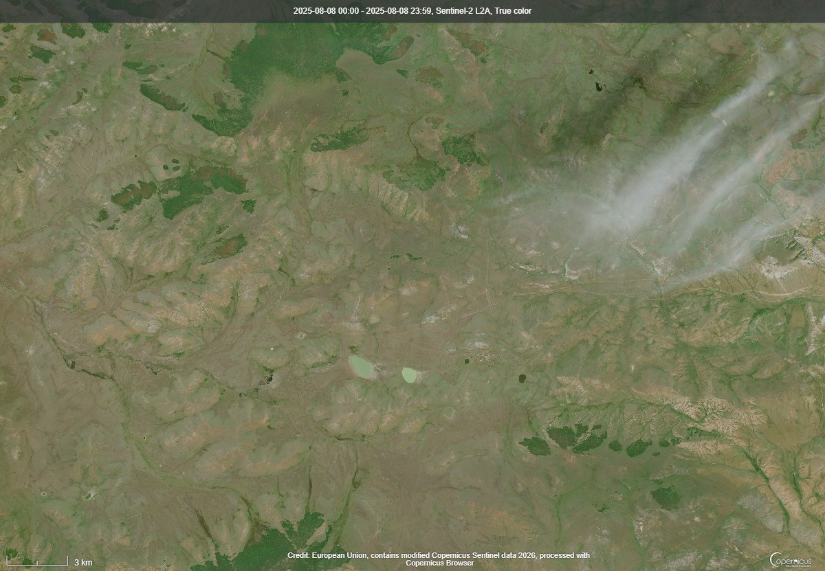
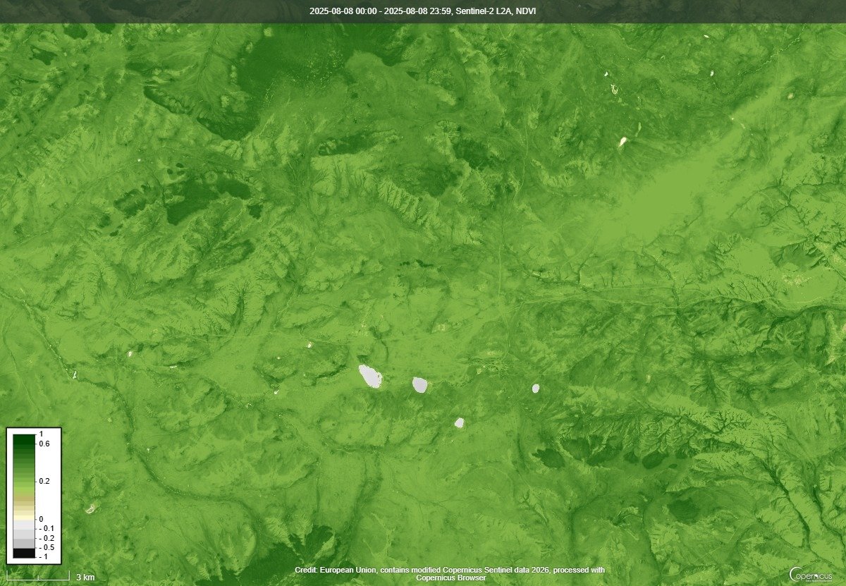
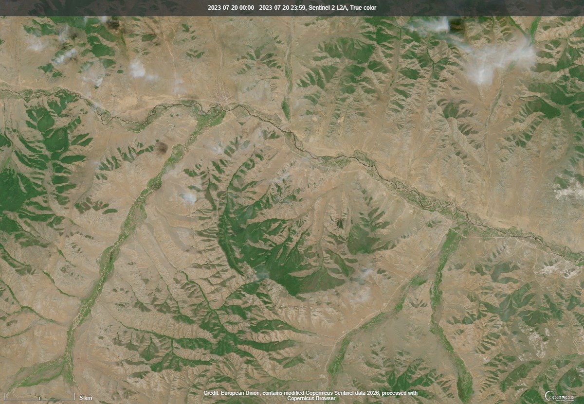
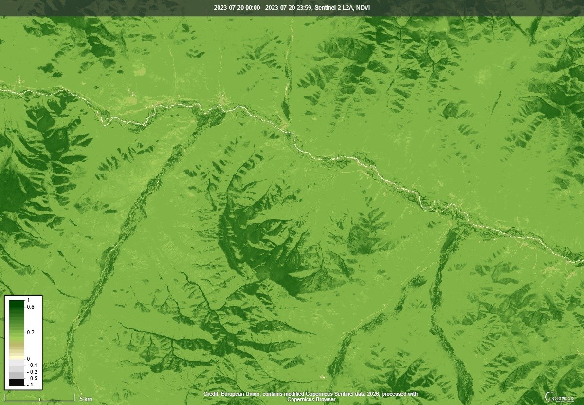
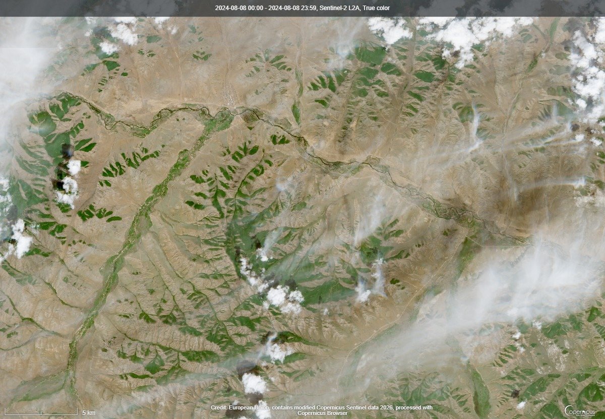
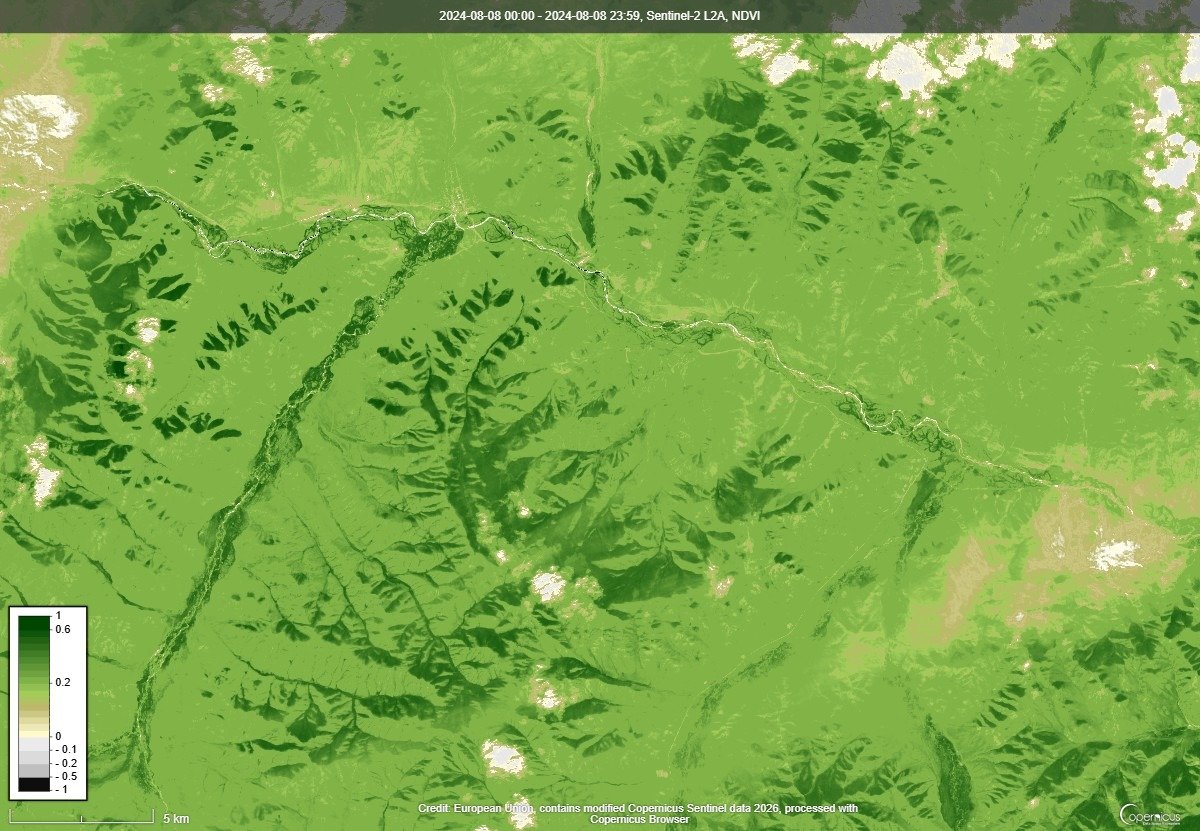
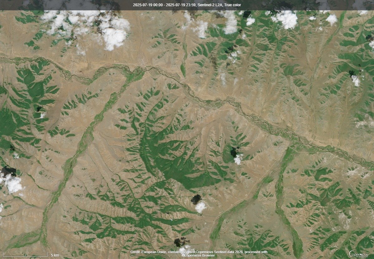
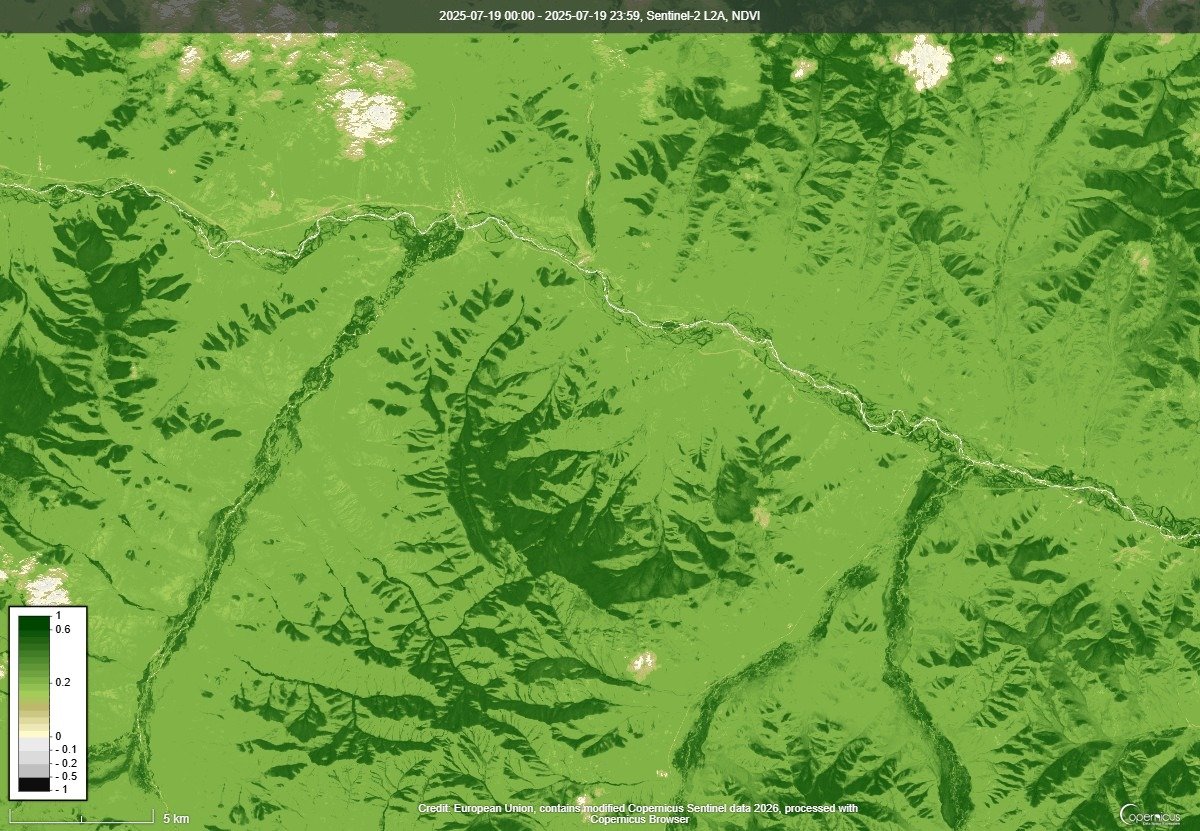
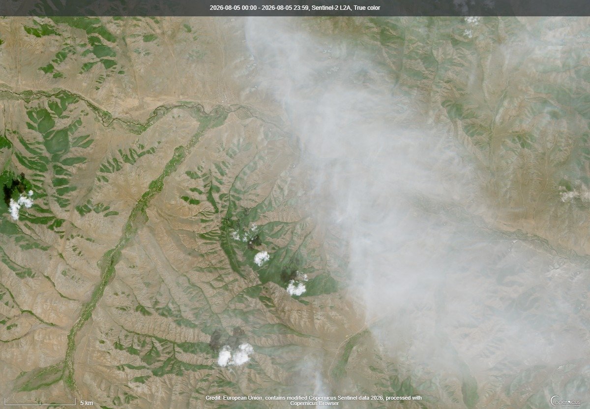
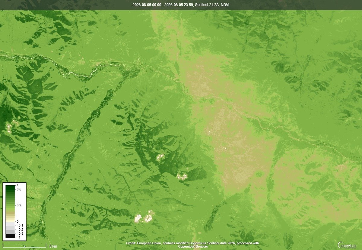
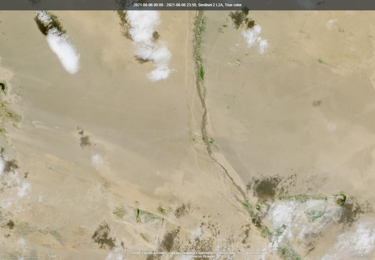
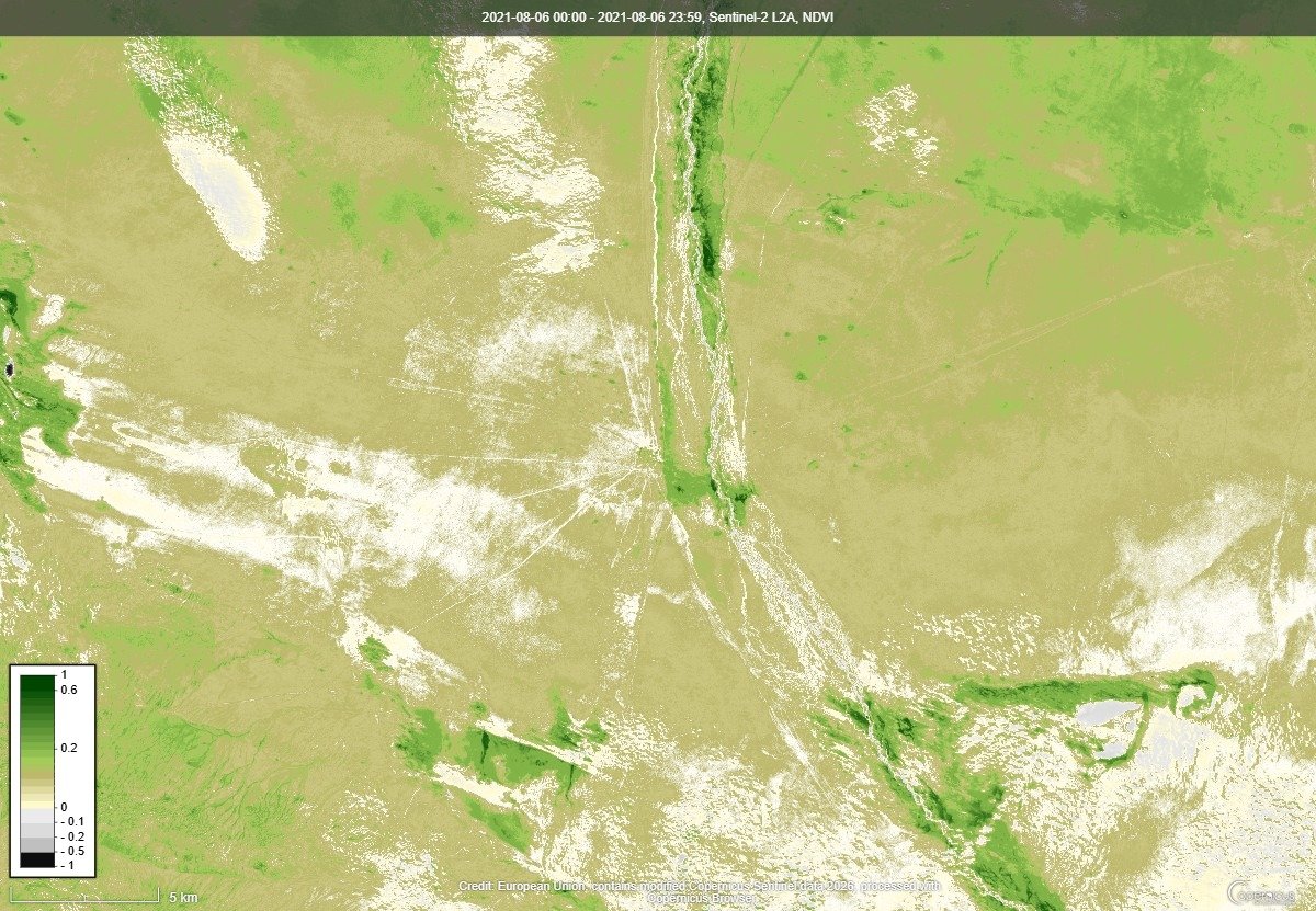
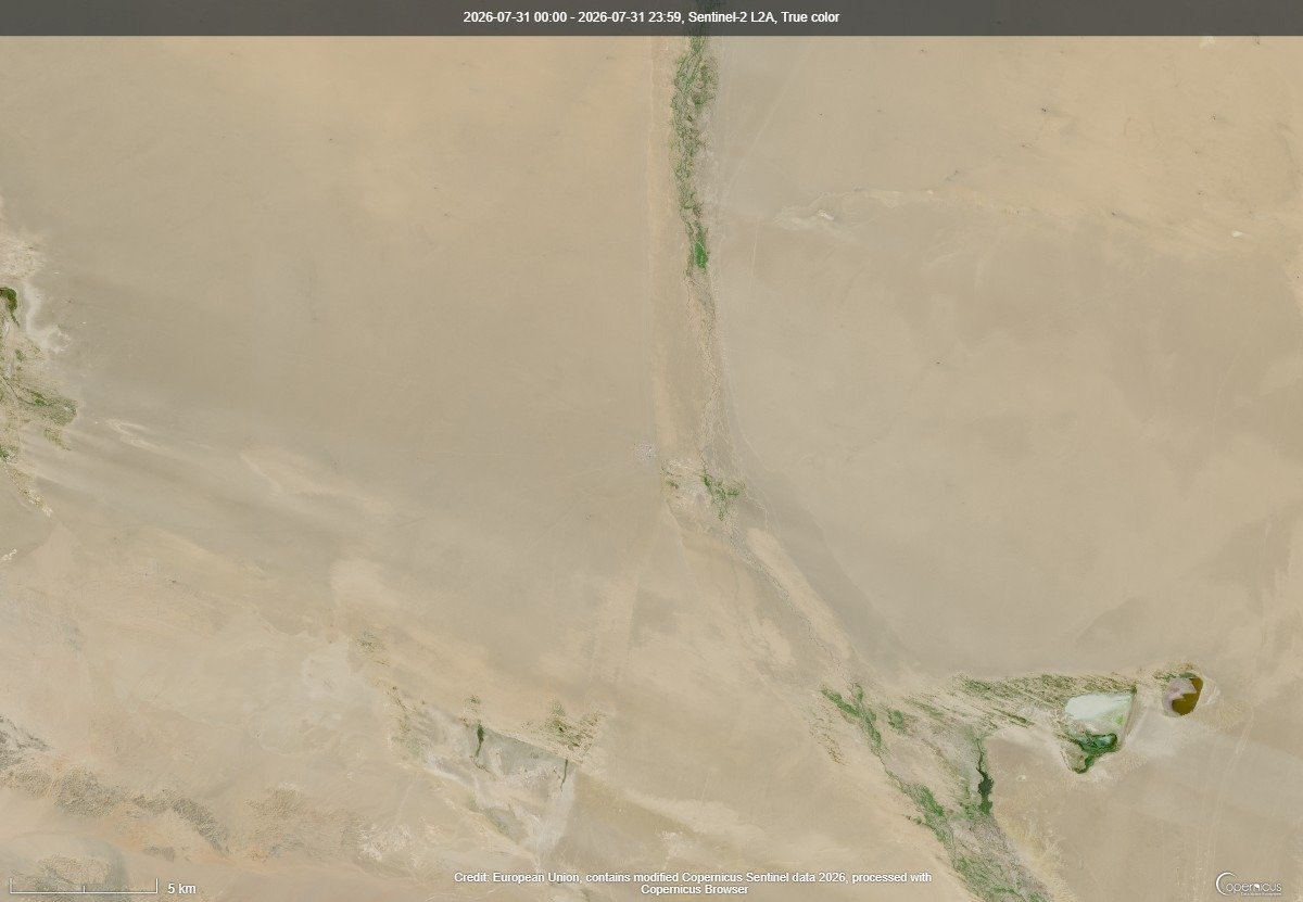
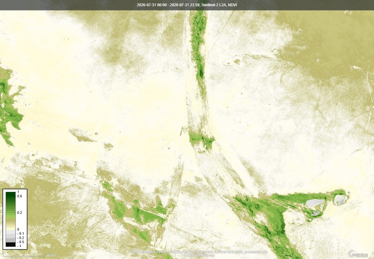
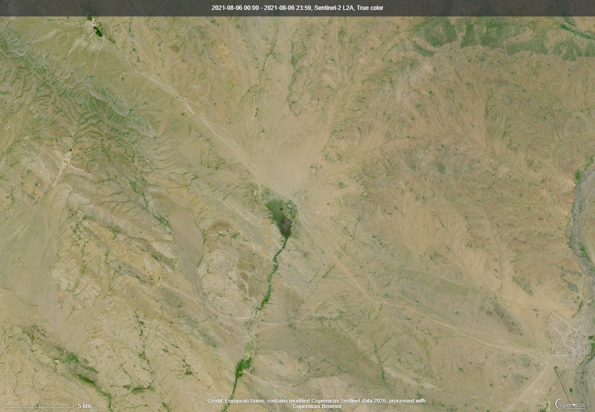
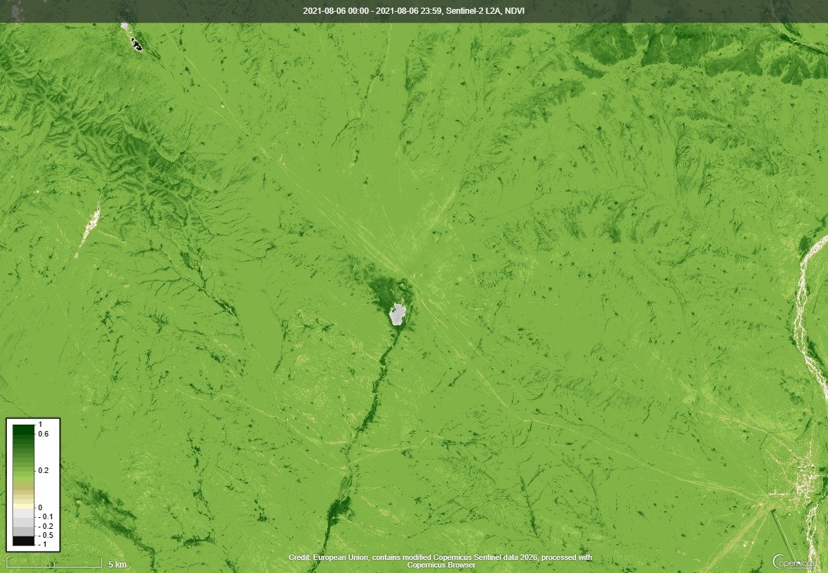
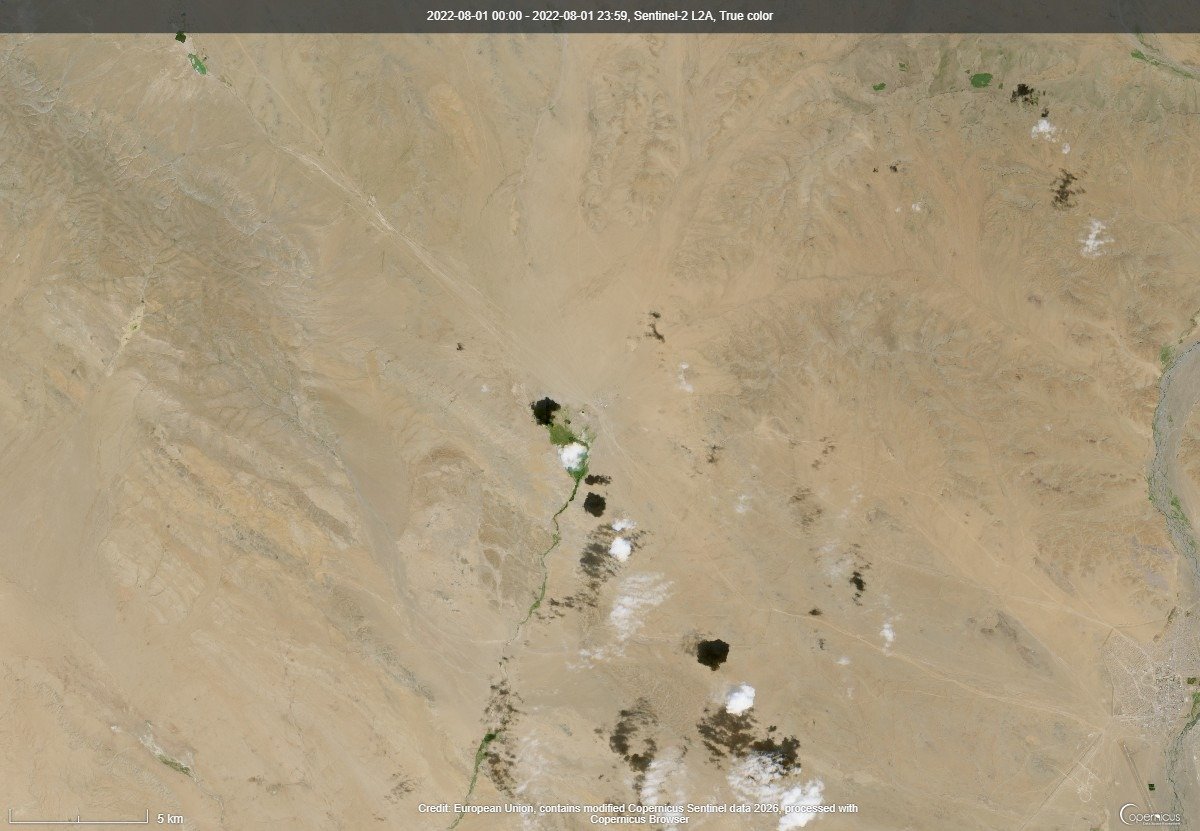
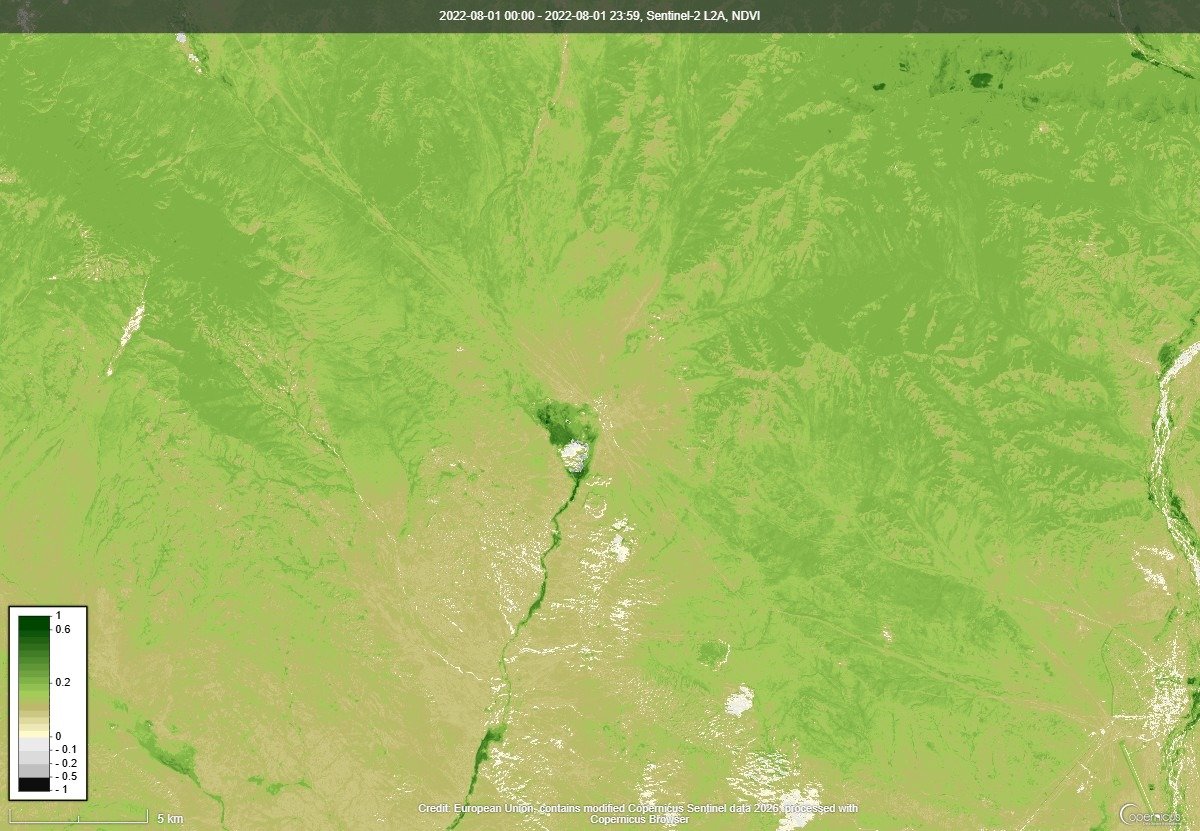
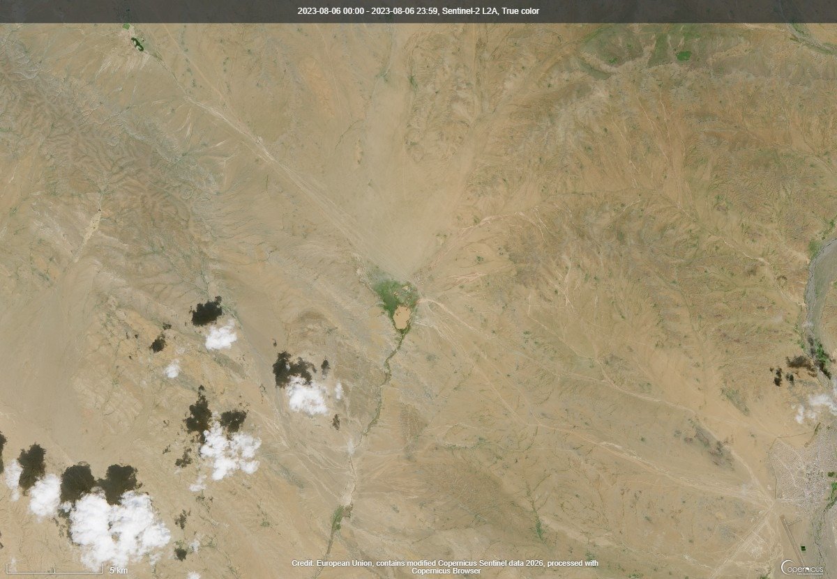
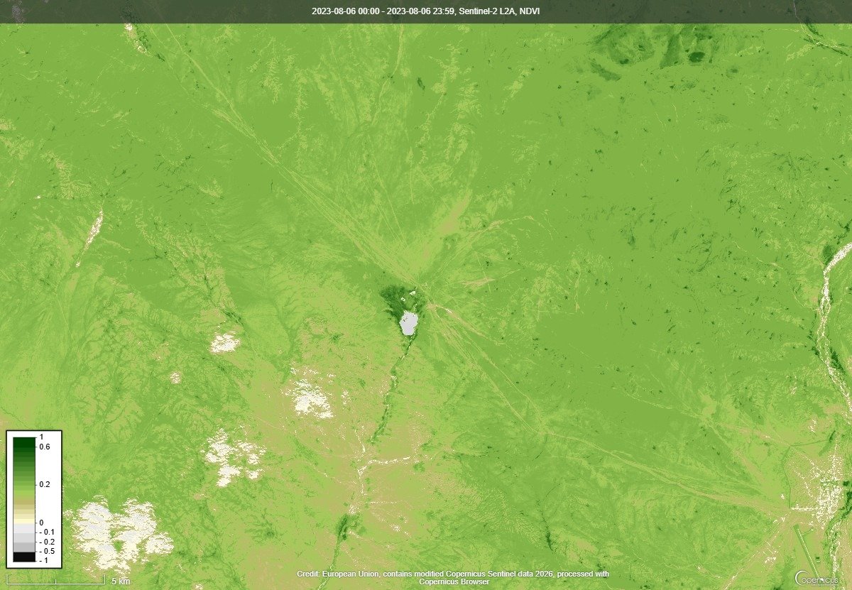
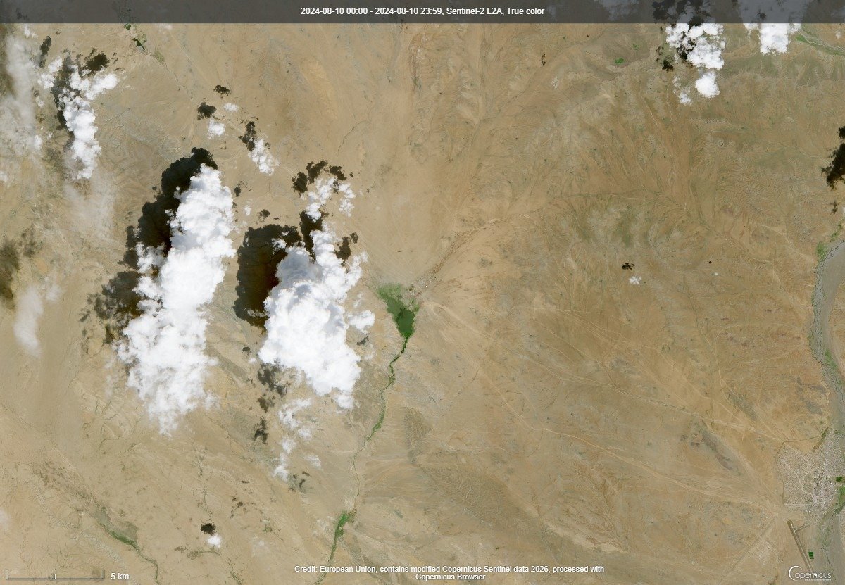
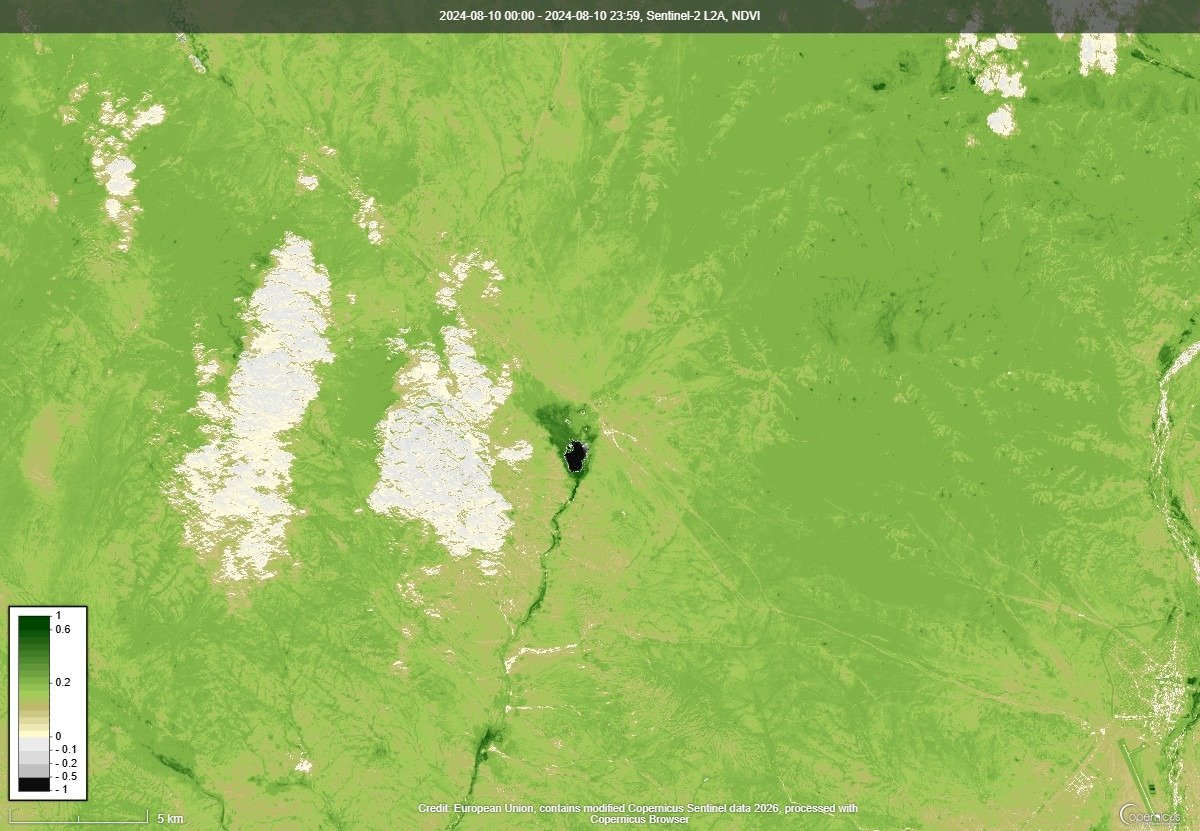
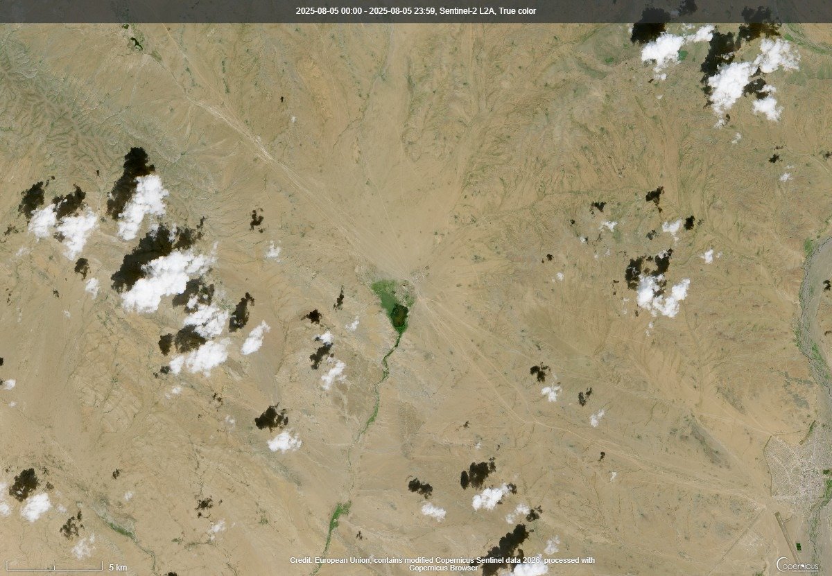
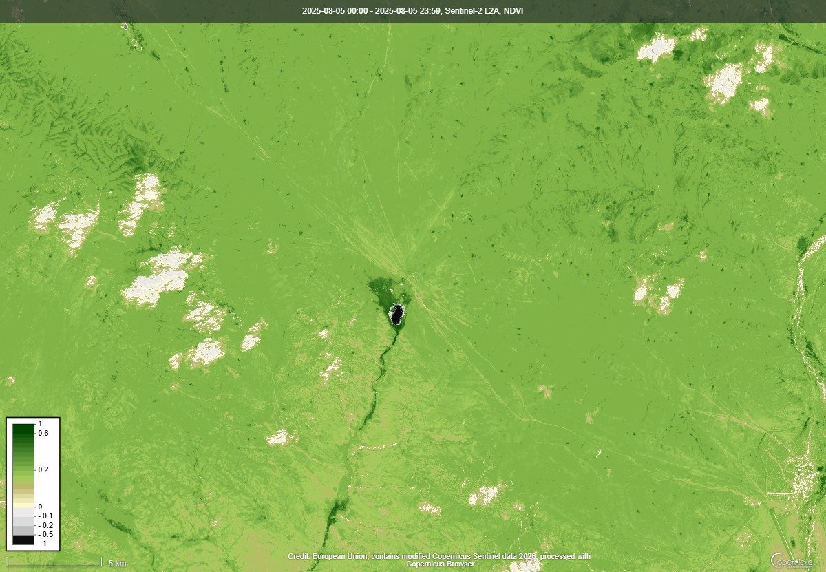
For each soum, we compare true-colour satellite images and NDVI vegetation-index maps captured at the peak of the growing season (roughly 20 July – 10 August), year by year from 2021 to 2026 — making multi-year changes in pasture condition visible at a glance. On the NDVI maps, dark green indicates dense, healthy vegetation, while pale yellow indicates sparse vegetation. Click any image to enlarge it.
Data source: Sentinel-2 satellites of the European Union’s Copernicus programme (Copernicus Data Space Ecosystem). Owing to cloud cover, some years’ images were taken in late July or early August; the acquisition date of each image is shown in brackets.
Alag-Erdene (Khuvsgul)
2021 (4 Aug 2021)
2022 (4 Aug 2022)
2023 (27 Jul 2023)
2024 (10 Aug 2024)
2025 (28 Jul 2025)
2026 (5 Aug 2026)
Arbulag (Khuvsgul)
2021 (4 Aug 2021)
2022 (4 Aug 2022)
2023 (20 Jul 2023)
2024 (3 Aug 2024)
2025 (8 Aug 2025)
2026 (5 Aug 2026)
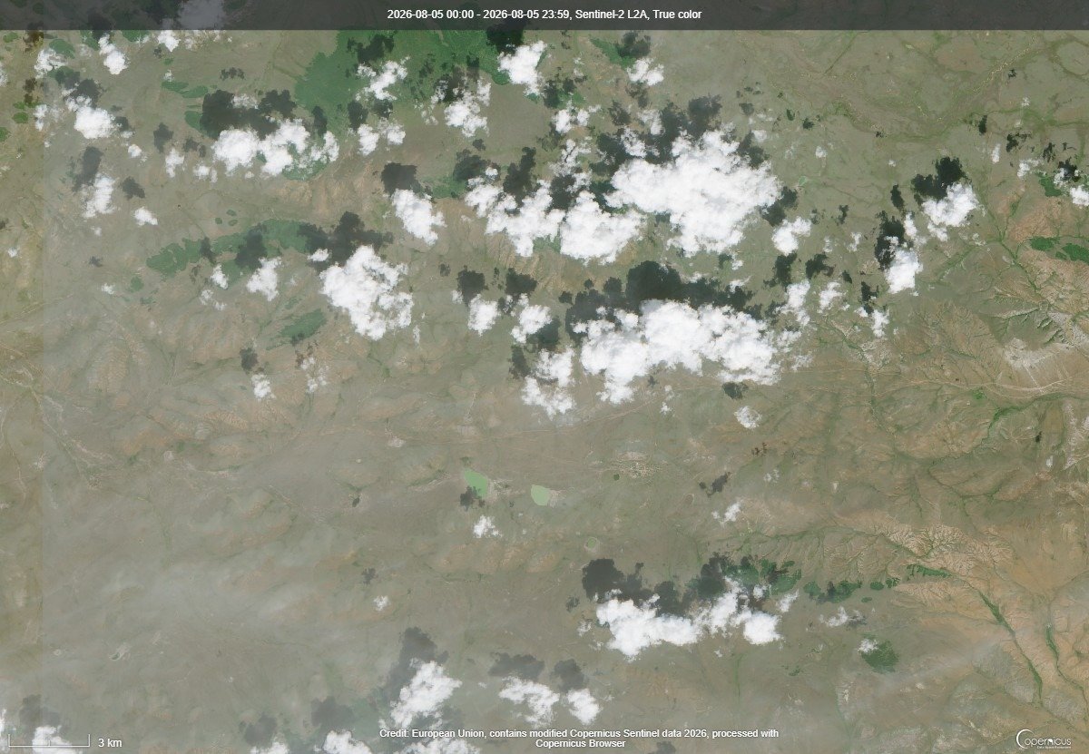
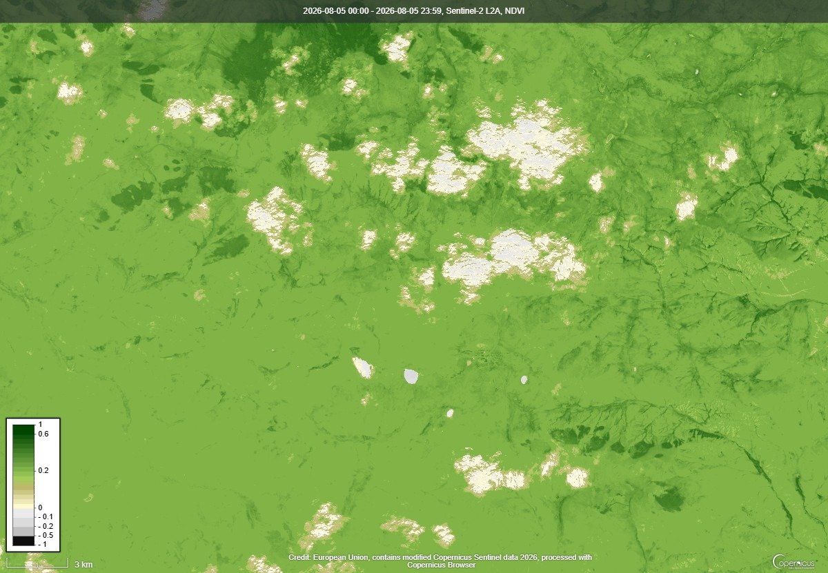
Ikh-Uul (Khuvsgul)
2021 (9 Aug 2021)
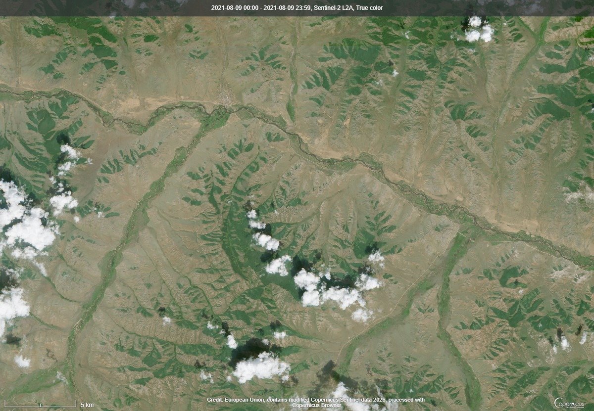
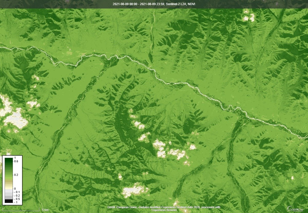
2022 (4 Aug 2022)
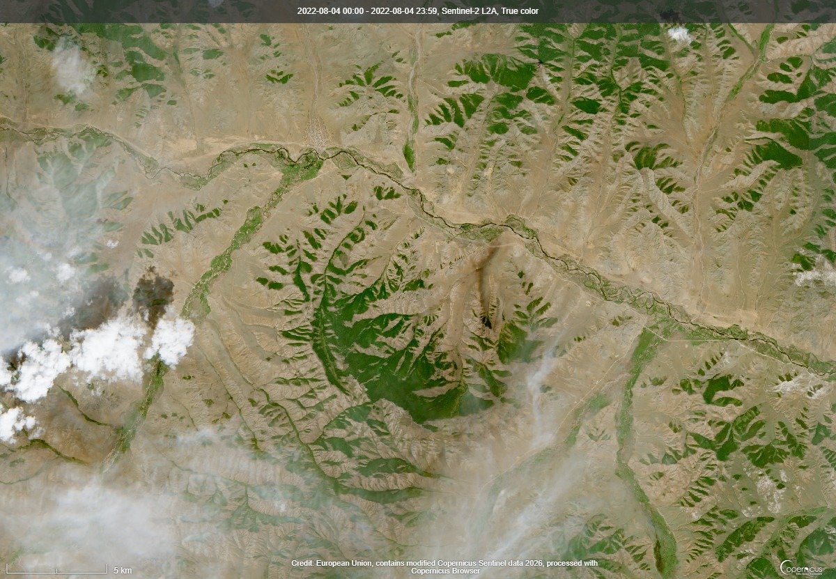
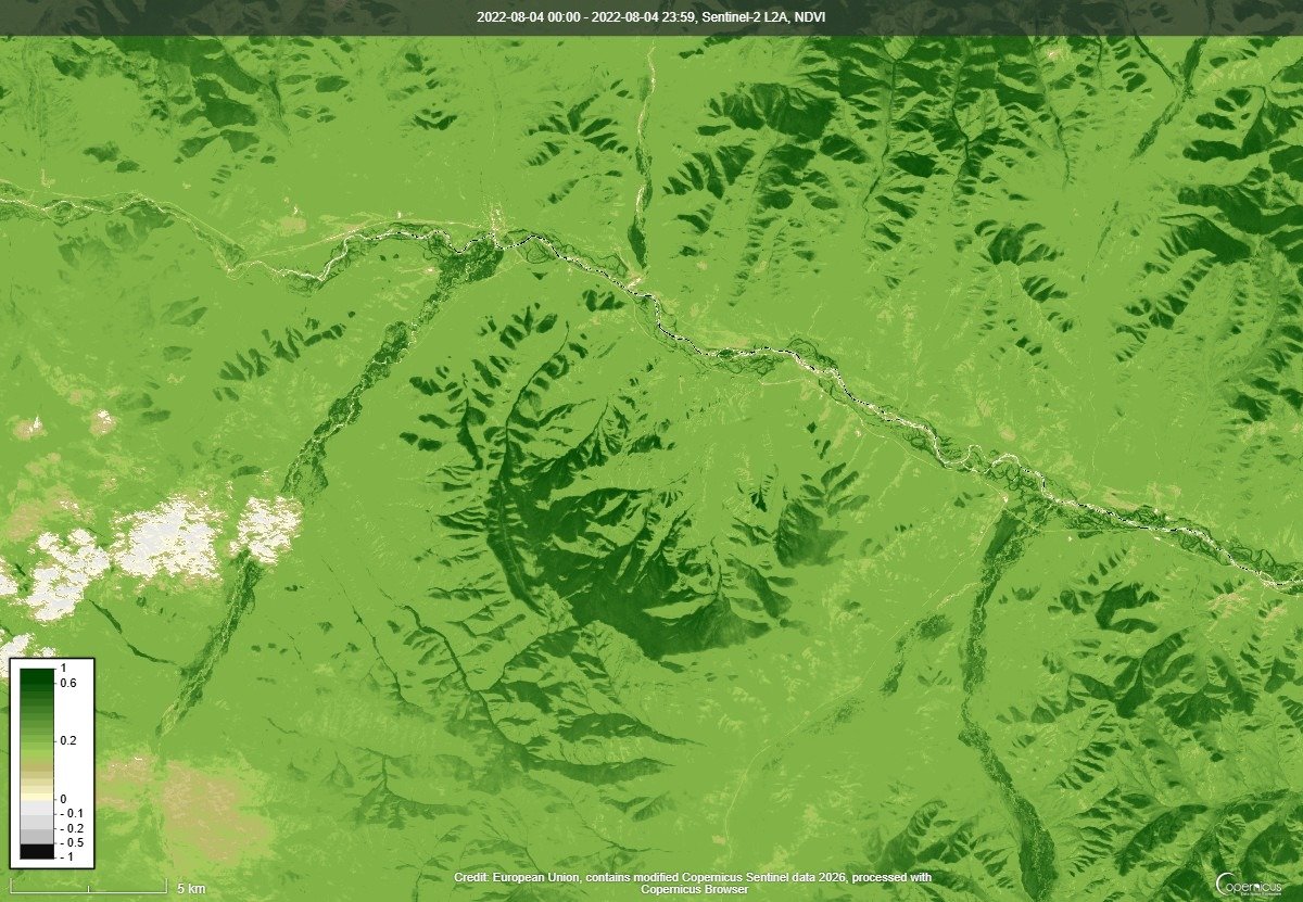
2023 (20 Jul 2023)
2024 (8 Aug 2024)
2025 (19 Jul 2025)
2026 (5 Aug 2026)
Jinst (Bayankhongor)
2021 (6 Aug 2021)
2022 (1 Aug 2022)
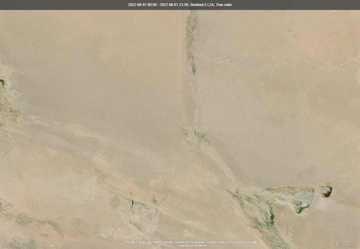
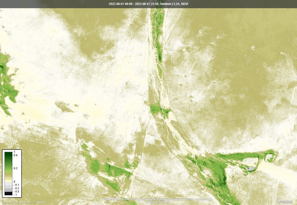
2023 (6 Aug 2023)
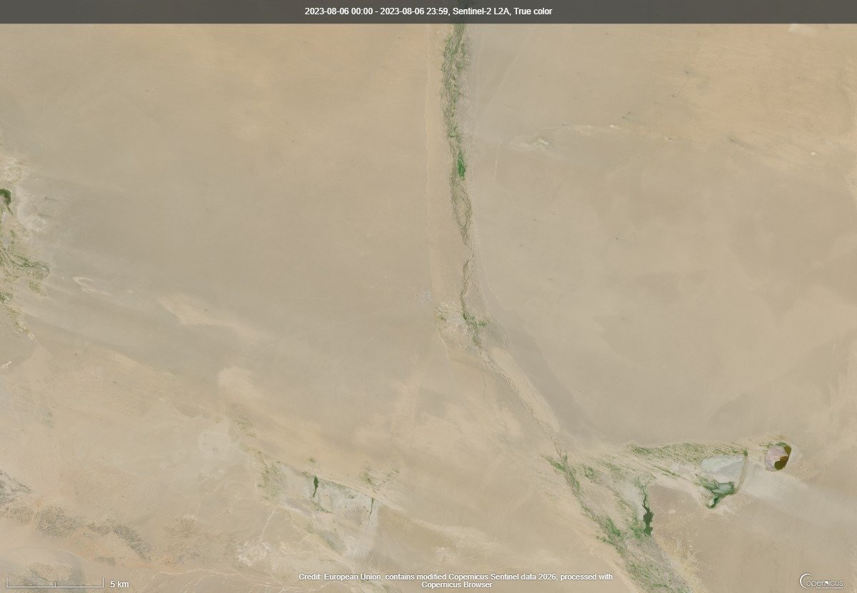
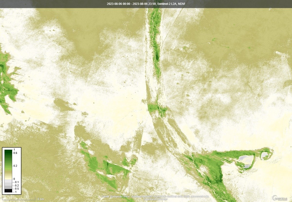
2024 (10 Aug 2024)
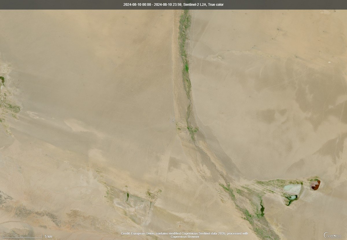
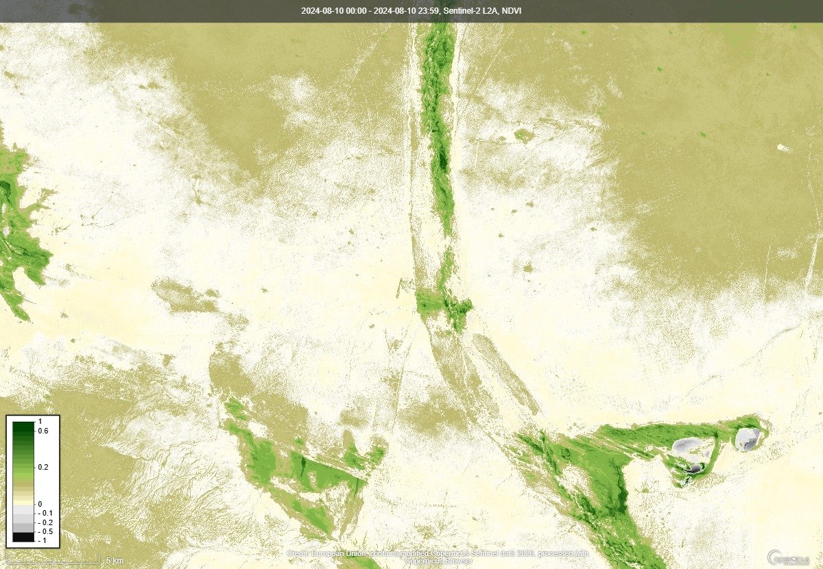
2025 (5 Aug 2025)
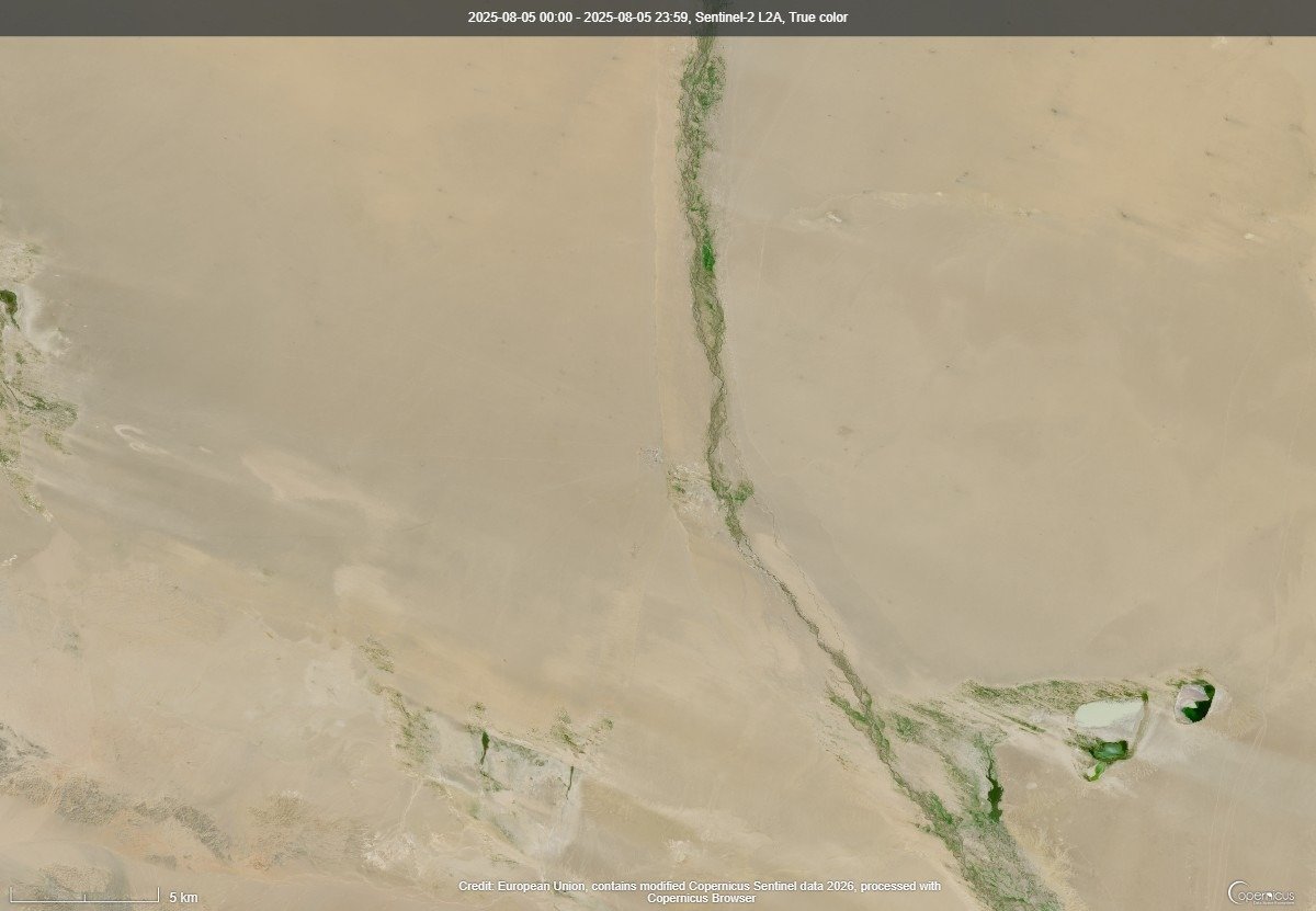
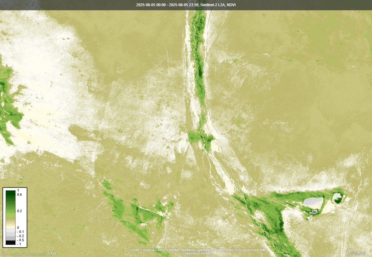
2026 (31 Jul 2026)
Bayan-Ovoo (Bayankhongor)
2021 (6 Aug 2021)
2022 (1 Aug 2022)
2023 (6 Aug 2023)
2024 (10 Aug 2024)
2025 (5 Aug 2025)
2026 (5 Aug 2026)